- English
- Русский
Languages:
This site is created using Wikimapia data. Wikimapia is an open-content collaborative map project contributed by volunteers around the world. It contains information about 32622296 places and counting.
Learn more about Wikimapia and cityguides.
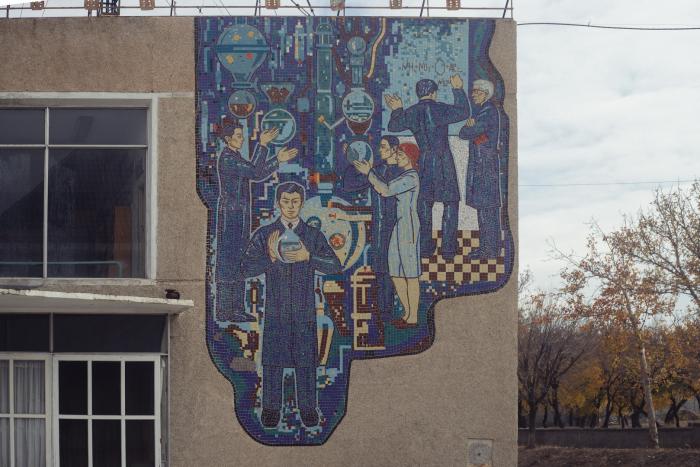
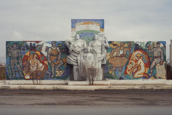
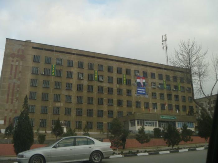
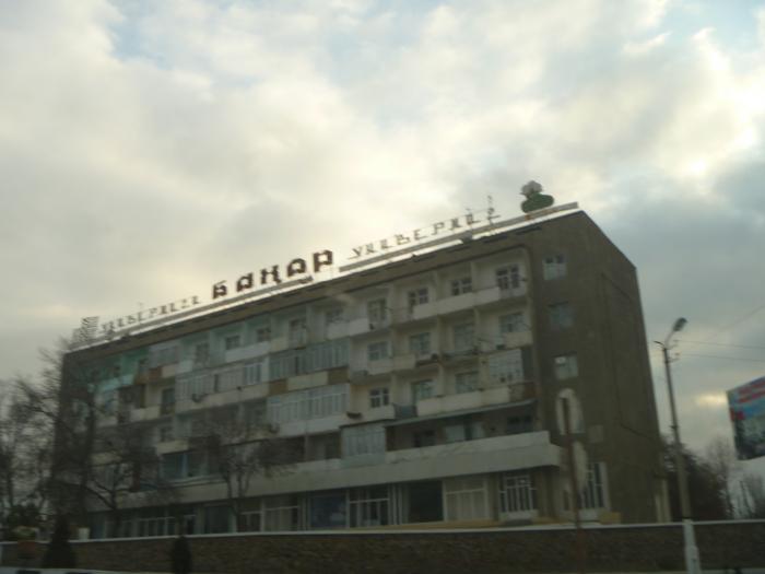
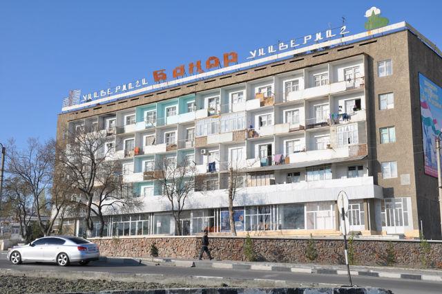
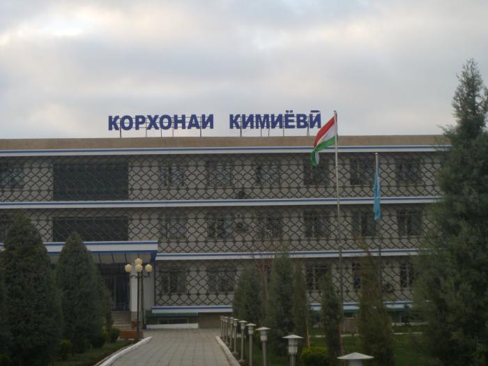
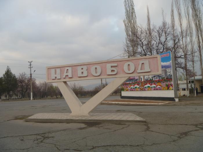
Isfara
Industrial town in the north of Tajikistan. Isfara district's administrative center of Sughd region.
Isfara on the map.